Photo Feature: The Gravel Roads of Oregon, USA

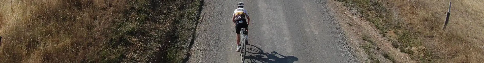
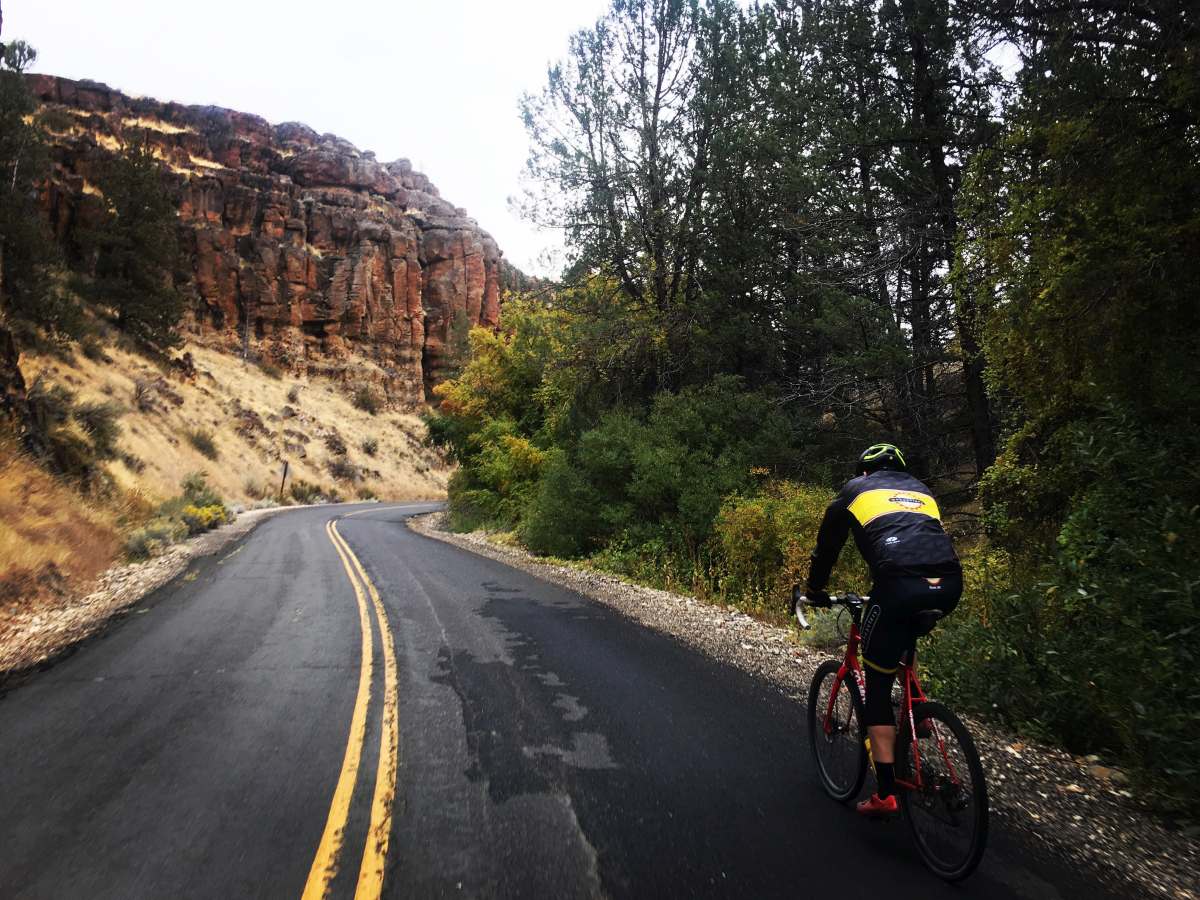
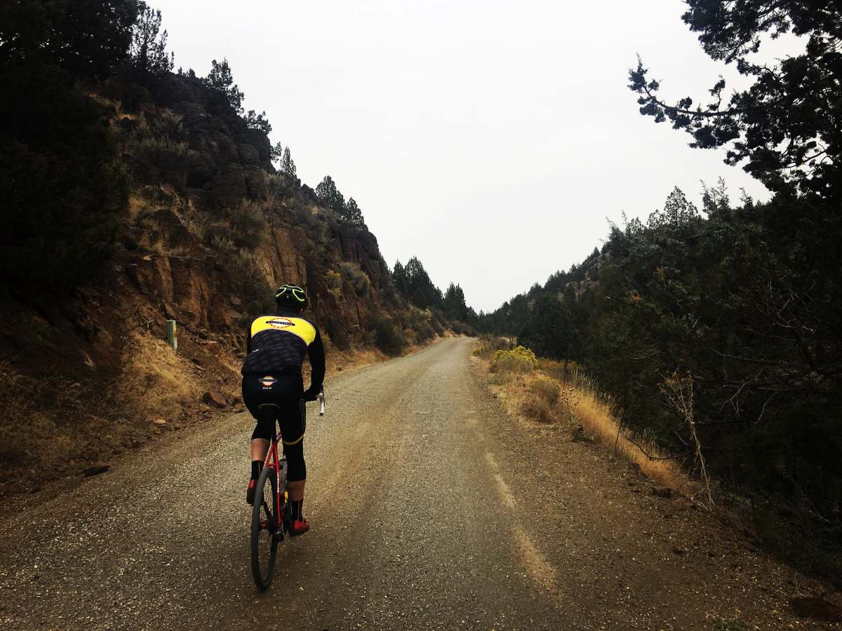
“Oregon is a state in the Pacific Northwest region on the West Coast of the United States. The Columbia River delineates much of Oregon’s northern boundary along Washington state, while the Snake River delineates much of its eastern boundary along Idaho. The parallel 42° north delineates the southern boundary with California and Nevada. Oregon is one of only three states of the contiguous United States to have a coastline on the Pacific Ocean.” – Wikipedia.org

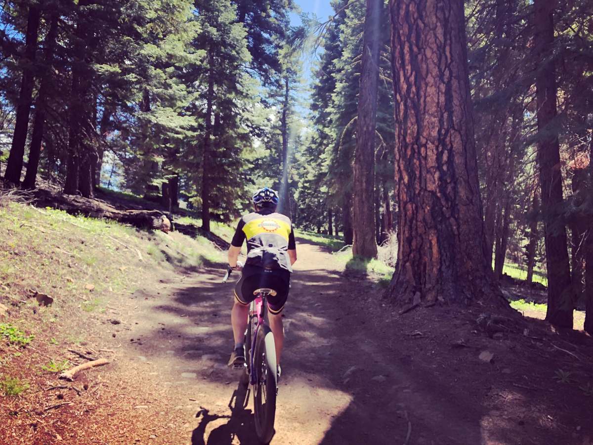
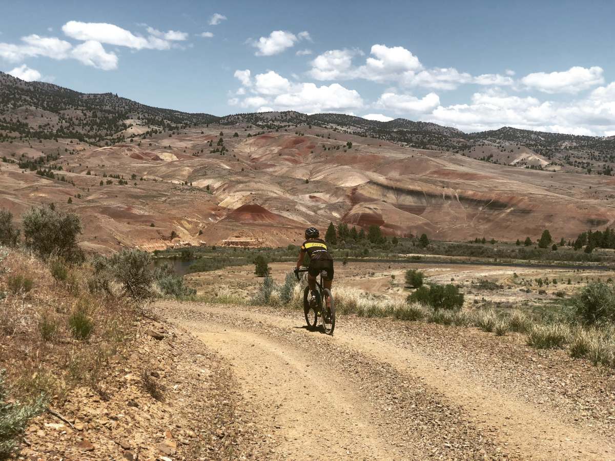
The photo contributions in this article come to us from Kevin at The Dirty Freehub. You really need to visit this website. Not only is there a ton of excellent photography, but proven gravel routes in states such as Oregon, California, Montana and more. Remember, if you enjoy riding any of the Dirty Freehub’s routes, please give them some credit. Life is more than instant gratification, grabbing route data from Strava or RidewithGPS. Route planning is a time-consuming, thankless task.

Links to Gravel Cyclist’s Route Planning 101 (using technology) and Cartography (Gravel Road Map Resources).

The Bonanza Loop, part of Meek’s Lost Wagon Train.
oregon gravel cycling
Climbing on the Bonanza Loop.
oregon gravel cycling
Amazing views on the Bonanza Loop.
oregon gravel cycling
Old homesteads dot the Bonanza Loop.
oregon gravel cycling
Bonanza Loop, one of the many old homesteads.
oregon gravel cycling
Mother Nature at work, Bonanza Loop.
oregon gravel cycling
Near Ben’s Single Track, 4 Boys Route.
oregon gravel cycling
Donnybrook route, Canyon leads to gravel.
oregon gravel cycling
Donnybrook route, first gravel sector.
oregon gravel cycling
Stunning views on the Donnybrook route.
oregon gravel cycling
Ghost of Ashwood route.
oregon gravel cycling
Ghost of Ashwood route.
oregon gravel cycling
Ghost of Ashwood route.
oregon gravel cycling
Old railway grade, Over the Rainbow route.
oregon gravel cycling
The road into Mecca Flats, Over the Rainbow route.
oregon gravel cycling
The Deschutes River, Over the Rainbow route.
oregon gravel cycling
Gravel Cracker 85 mile route.
oregon gravel cycling
The Lush route, aptly named.
oregon gravel cycling
Higher elevations on the Lush route.
oregon gravel cycling
More of the Lush route.
oregon gravel cycling
The view from the first climb, Path of Totality route.
oregon gravel cycling
Former railway grade, Path of Totality.
oregon gravel cycling
Lake Bill Chinook, Path of Totality route.
oregon gravel cycling
Views from the Priest Hole route.
oregon gravel cycling
The John Day River, Priest Hole route.
oregon gravel cycling
Priest Hole route.

If you have a nice collection of gravel cycling images from your location (originals only please, nobody else’s work) and are interested in sharing them with the Gravel Cyclist audience, please contact us.

Enjoy!

1 Comment

  1. Avatar Sven de LAGG

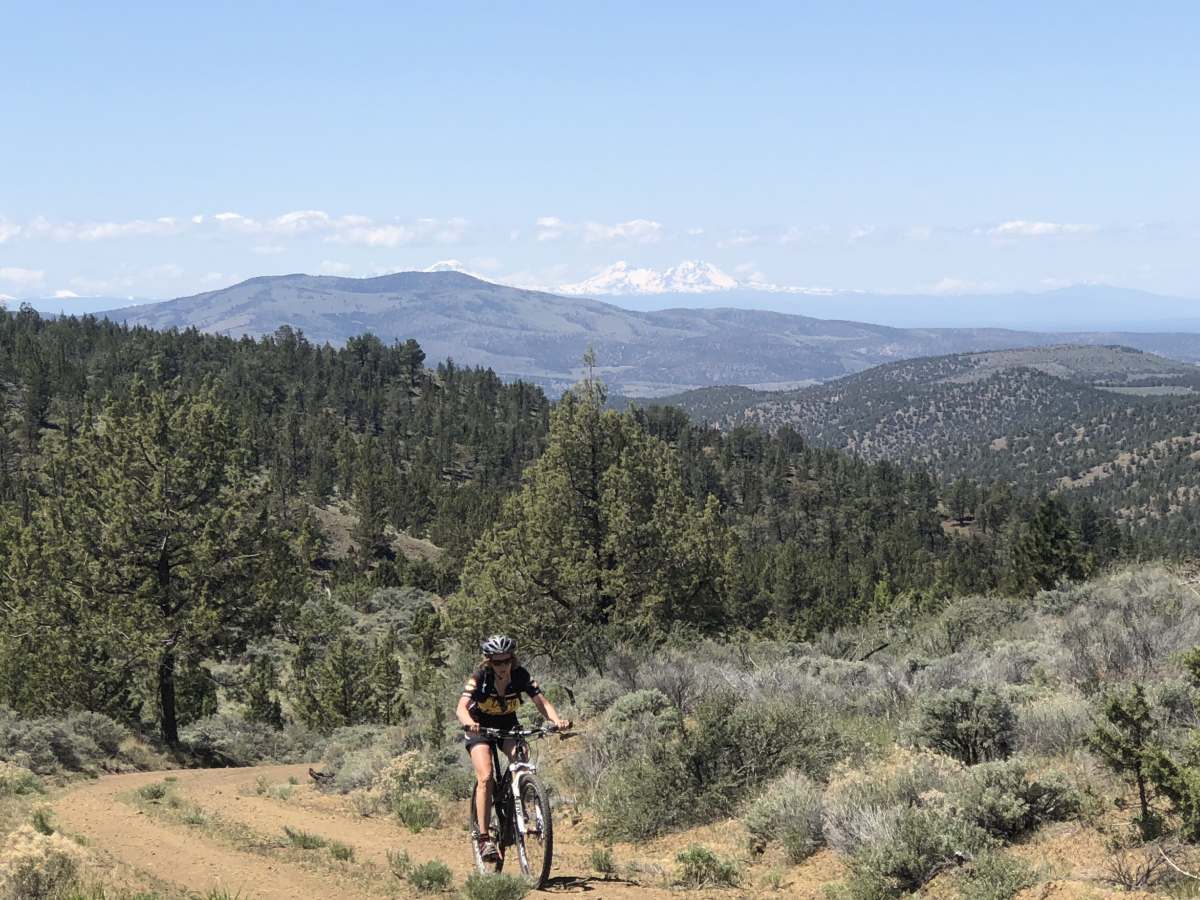
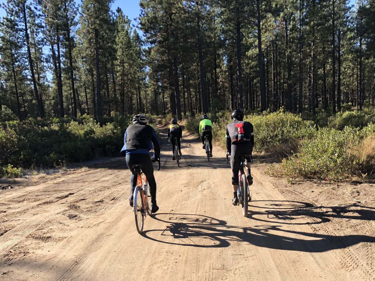
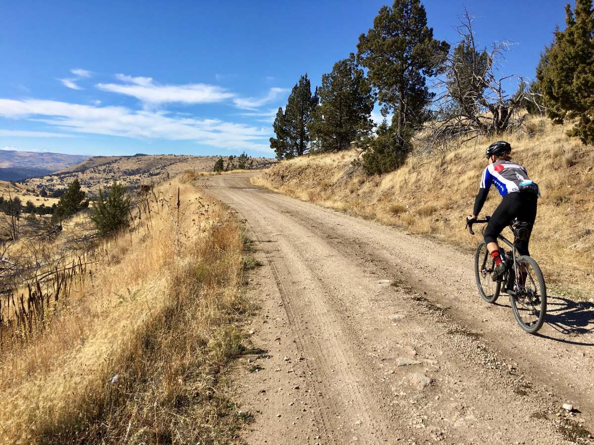
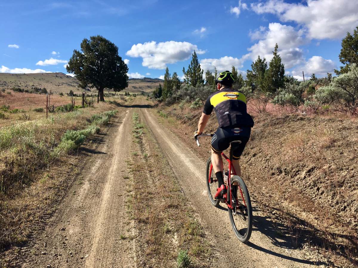
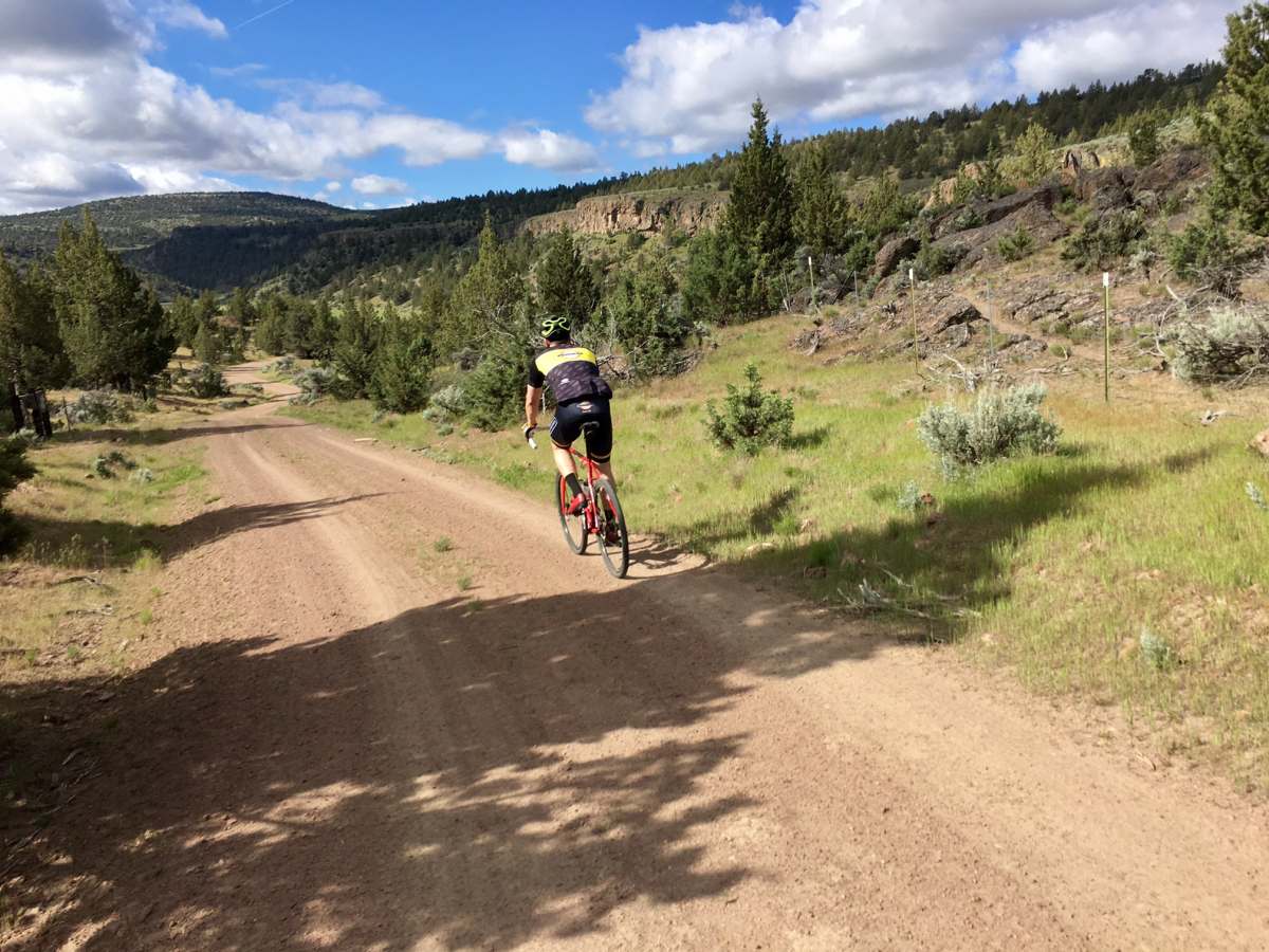
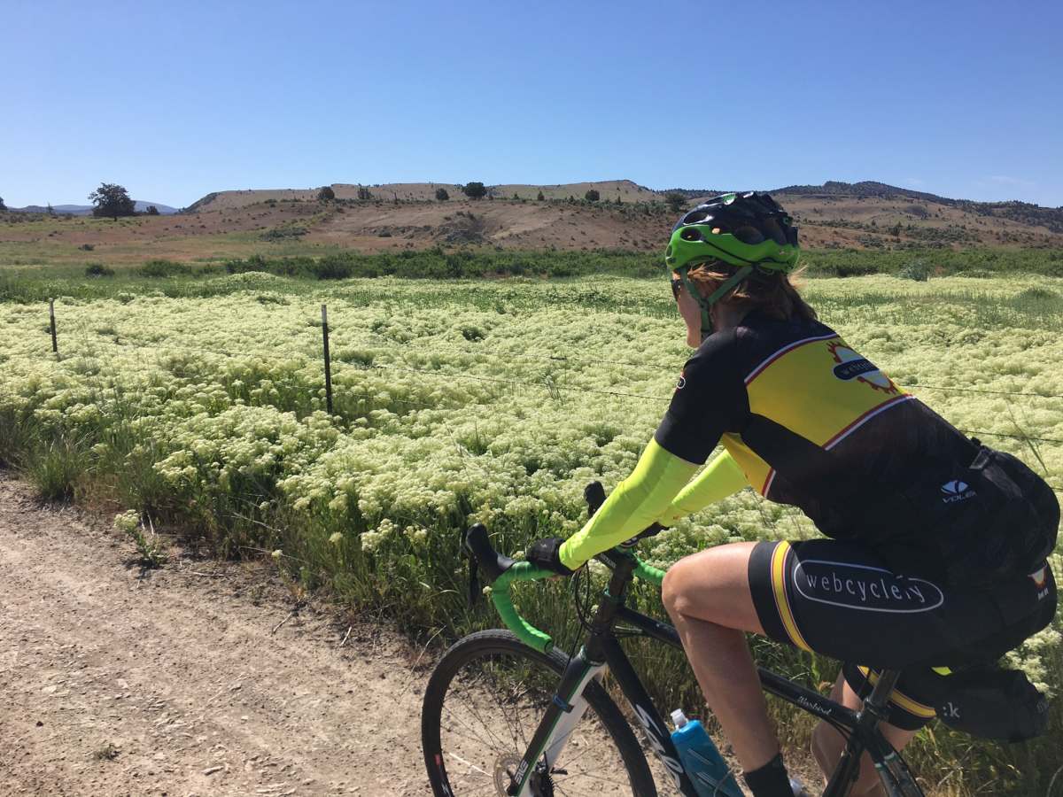
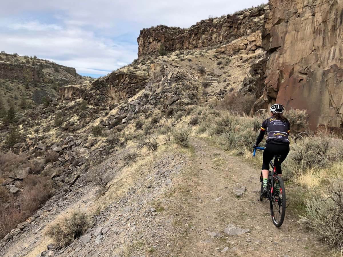
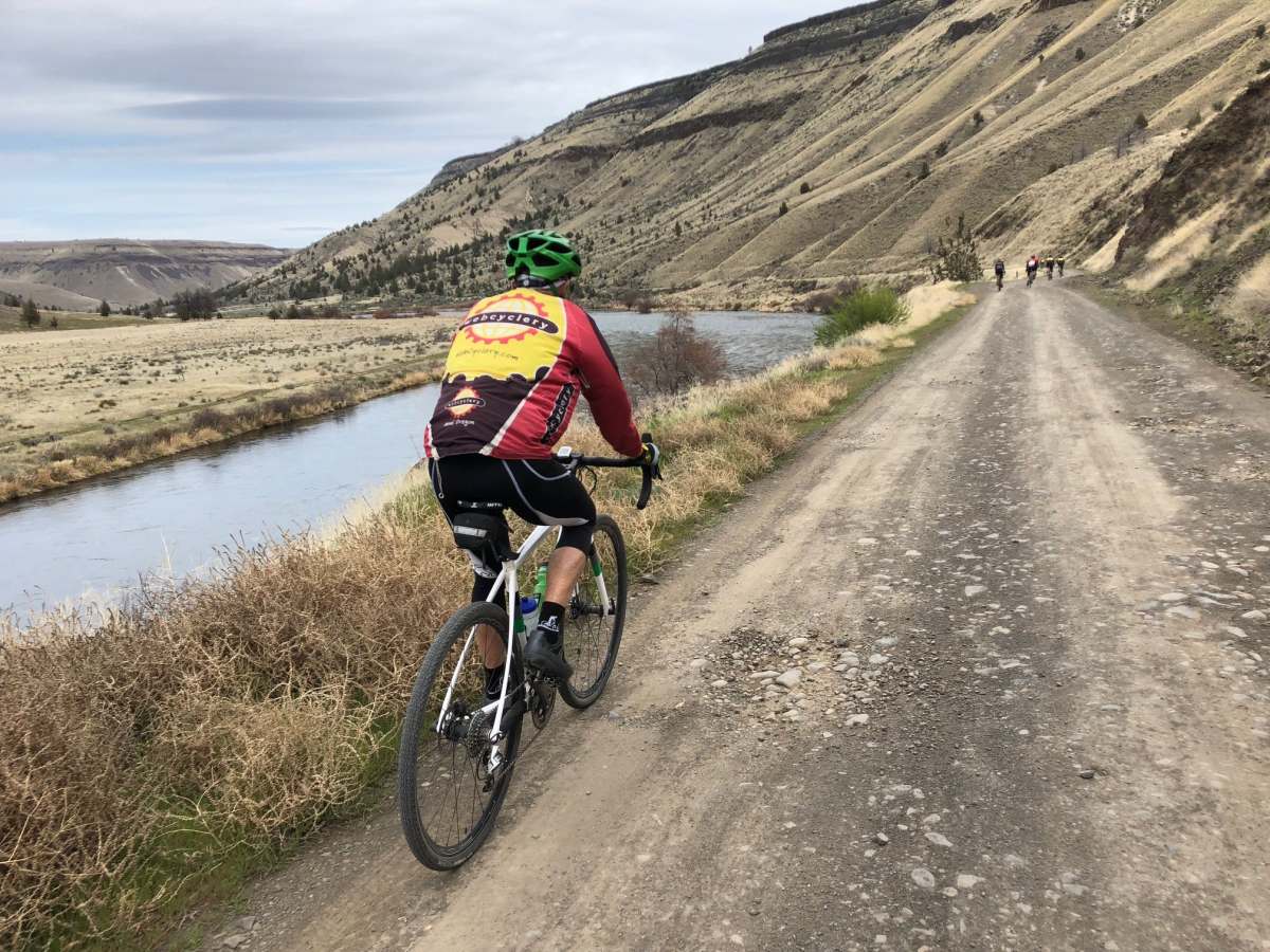
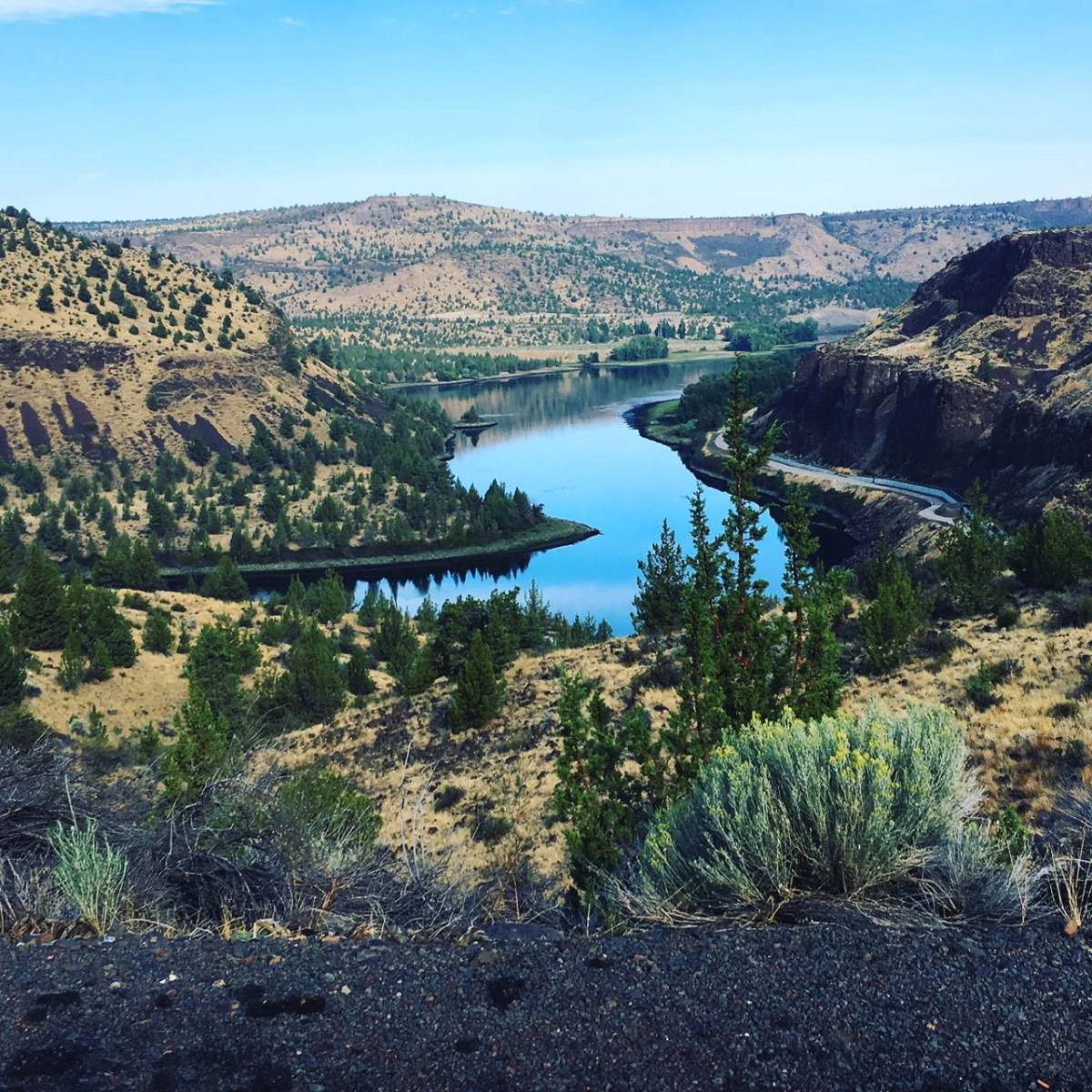
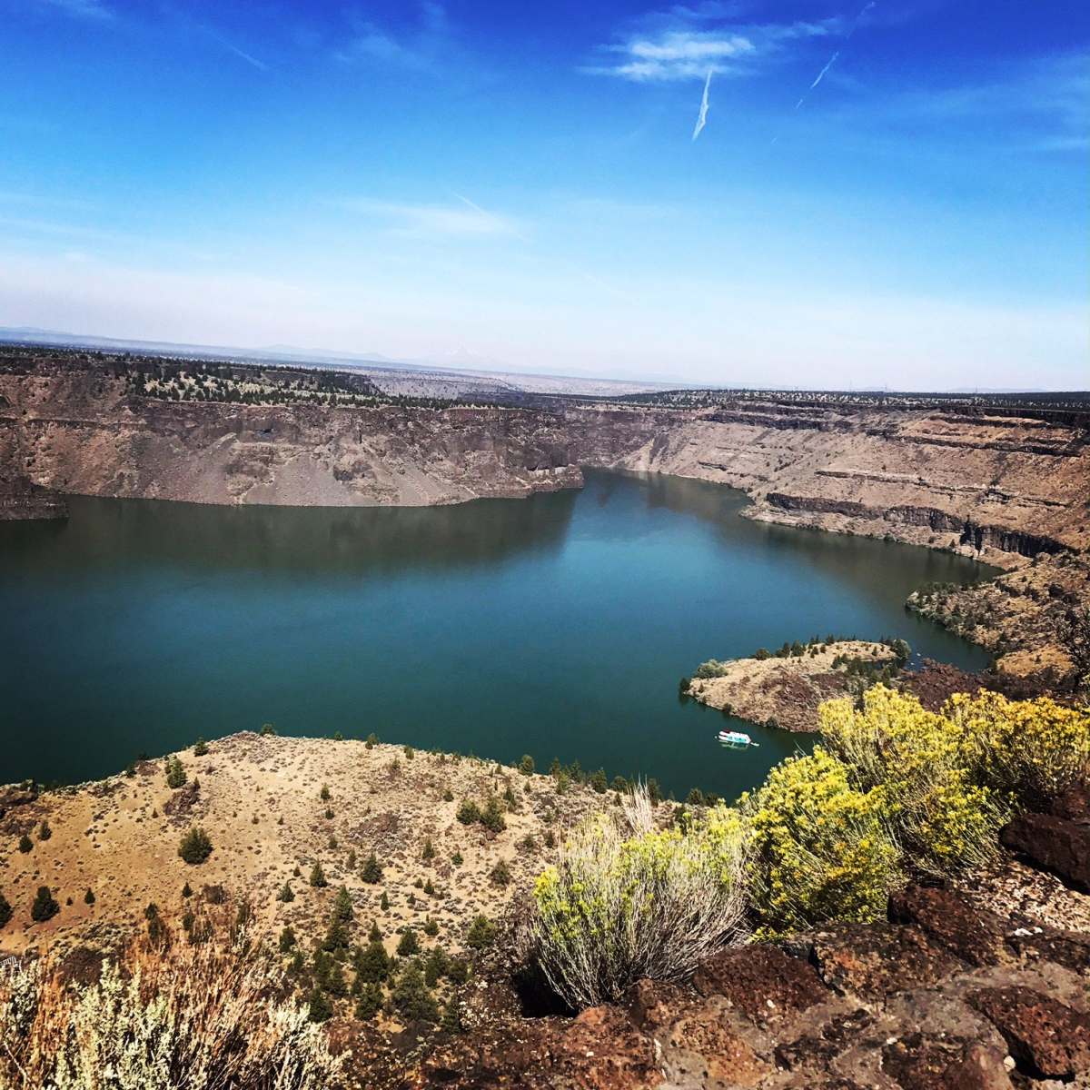
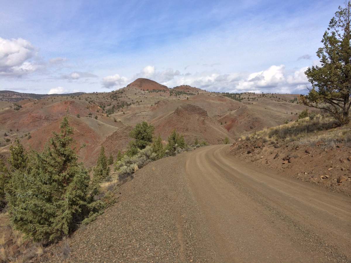
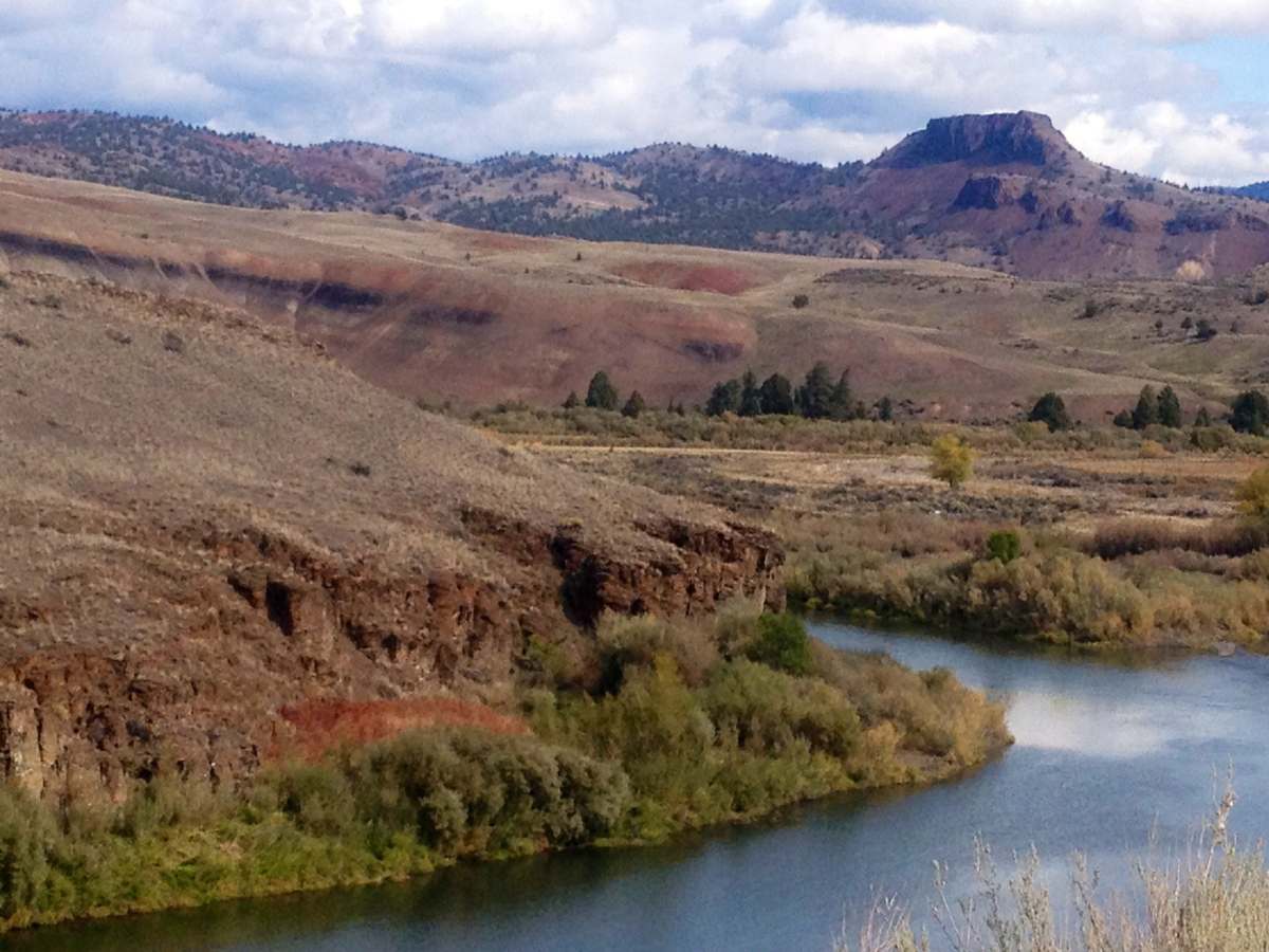
    And my (still ride the same old tarmac routes) roadie mates think I’m mad for abandoning road cycling when rarely seen views like these are enjoyed by gravel cyclists worldwide on nearly every ride? I know where I want to ride my bike……

Leave a Reply

Your email address will not be published. Required fields are marked *

This site uses Akismet to reduce spam. Learn how your comment data is processed.